China To United States Sea Shipping Route
Jiaxing Heyuan Supply Chain Company is located in Jiaxing City, Zhejiang Province. It closes to Shanghai, Hangzhou and Ningbo, enjoying the unique natural environment advantages. We're a global supply logistics company, specialized in international air &sea shipping, import and export transportation, warehousing, customs brokerage, container trucking & bulk trucking etc.
Our business covers more than 100 countries around the world mainly covers the United States, Europe, Canada, Australia, Middle East etc.
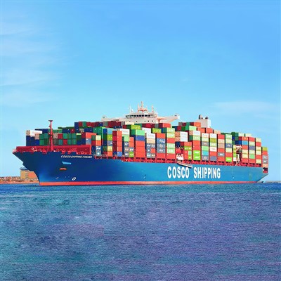
Shipment way by sea, At present, usually choosing Cosco / MSC / Maersk / ZIM / OOCL / CMA / YML / HPL etc.
Shipment way by air, At present, usually air flights have MU / CA / EK / QR / SV / HU / CX / TK / SQ etc.
There are several shipping routes to the United States:
1. Far East - North America West Coast Route
This route includes trade and transportation lines from China, North Korea, Japan and the Soviet Union's Far East ports to Canada, the United States, Mexico and other ports on the west coast of North America. Starting from the coastal ports of my country, the southerly ones go out to the East China Sea through the Osumi Strait; the northerly ones go through the Tsushima Strait through the Sea of Japan, or enter the Pacific Ocean through the Qingjin Strait, or through the Soya Strait, through the Sea of Okhotsk to enter the North Pacific.
2. Far East - Caribbean, North America East Coast Route
This route often arrives after passing through the Hawaiian Islands to the Panama Canal from north to south. Most ships departing from my country's northern coastal ports go out to the East China Sea through the Osumi Strait or through Ryukyu Amami Oshima.
3. Northwestern Europe, North America East Coast - Mediterranean, Suez Canal - Asia-Pacific Route
Northwestern Europe, North America East Coast - Mediterranean - Suez Route is the world's busiest route. It is a shortcut for trade between North America, Northwestern Europe and the Asia-Pacific Gulf region. This route generally passes through the terminals on the Azores and Madeira Islands.



4. Persian Gulf-Good Hope-Western Europe, North America route
This route is mainly operated by supertankers and is the world's most important maritime oil transportation route.
5. Persian Gulf-Suez Canal-Mediterranean-Western Europe, North America transportation route
This route is currently accessible to supertankers with a load capacity of 300,000 tons.
6. Far East-North America route Eastern US route
7. Australia, New Zealand-North America route
8. US-Canada route
This includes Vancouver on the west coast of Canada, Seattle, Portland, San Francisco, Los Angeles on the west coast of the United States, Montreal and Toronto on the east coast of Canada, New York, Boston, Philadelphia, Baltimore, Portland on the east coast of the United States, and Mobile, New Orleans, Houston and other ports on the Gulf of Mexico in the United States. The ports in the Gulf of Mexico in the United States also belong to the East Coast route of the United States.
Extended information:
In waters around the world, under the constraints of natural conditions such as ports, tides, wind direction, water depth and distance on the earth's surface, a certain route available for ships to sail is called a route. Among many different routes, the maritime transport carrier comprehensively considers subjective and objective factors and selects the operating route to achieve the greatest economic benefits. The formation of a route mainly depends on the following factors: [2]
(I) Safety factors
Safety factors refer to the fact that the route of a ship's navigation must take into account various natural phenomena, such as wind direction, waves, tides, currents, reefs and drifting ice. Because the above phenomena will affect the safety of the ship's navigation.
(II) Freight factors
The freight factor refers to the amount of freight along the route. If the freight volume is large and there are many ships sailing, it must be a busy route.
(III) Port factors
Port factors refer to whether the water depth of the port where the ship passes through and docks is suitable, whether the climate is good, whether the waterway is wide, whether there are good storage and loading and unloading equipment, whether the inland transportation conditions are convenient, whether the port usage fee is low, and whether the fuel supply is sufficient.
(IV) Technical factors
Technical factors refer to the technical considerations of choosing the most economical and fast route when the ship is sailing.